Route catalogue
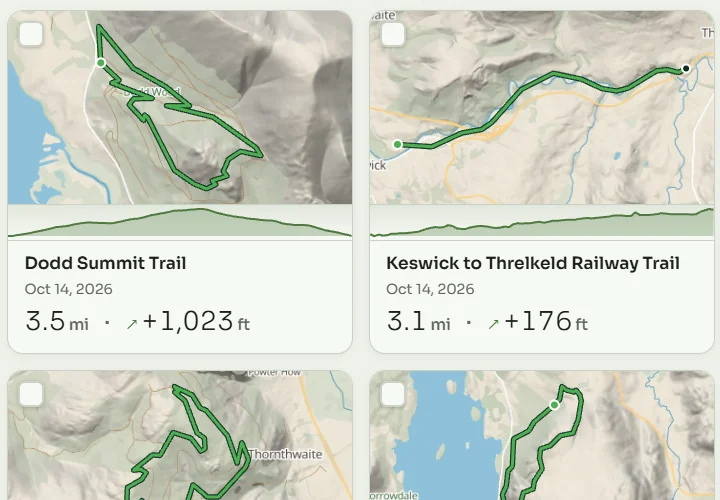
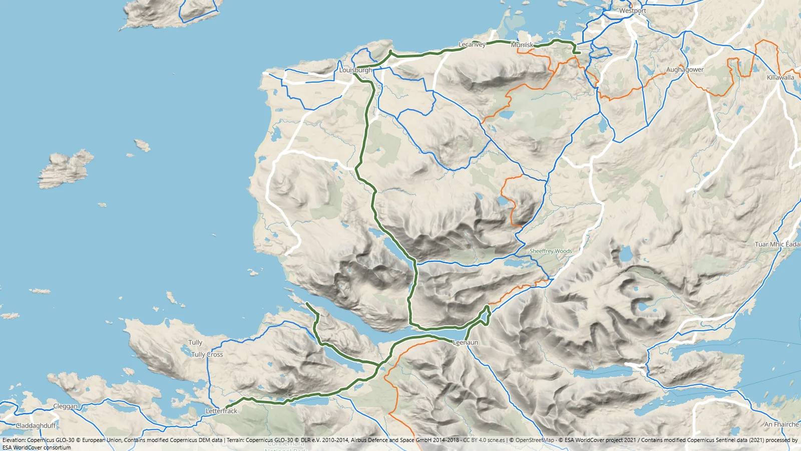
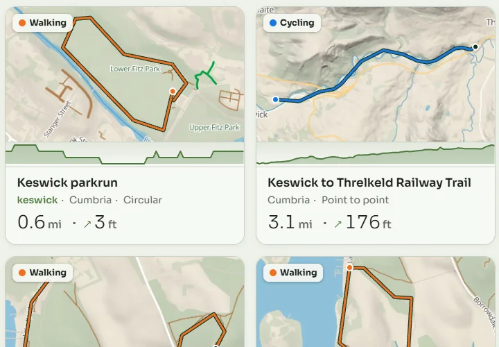
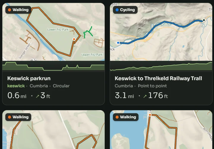
Routes shared by other people, with the profile, the gradients and the climbs, rated by those who rode them. Take one to your library in a tap, and publish yours if you feel like it.
Explore the catalogue30 days free
Phone and watch
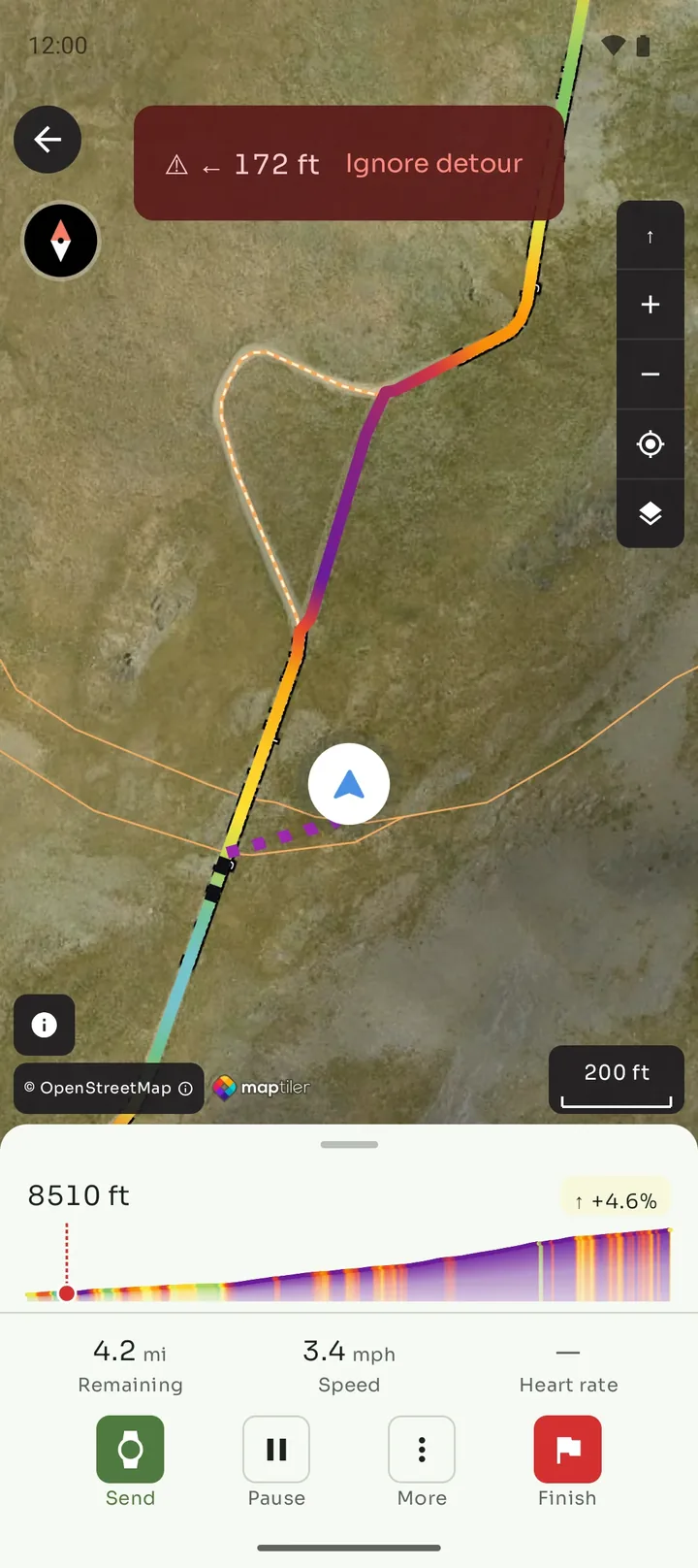
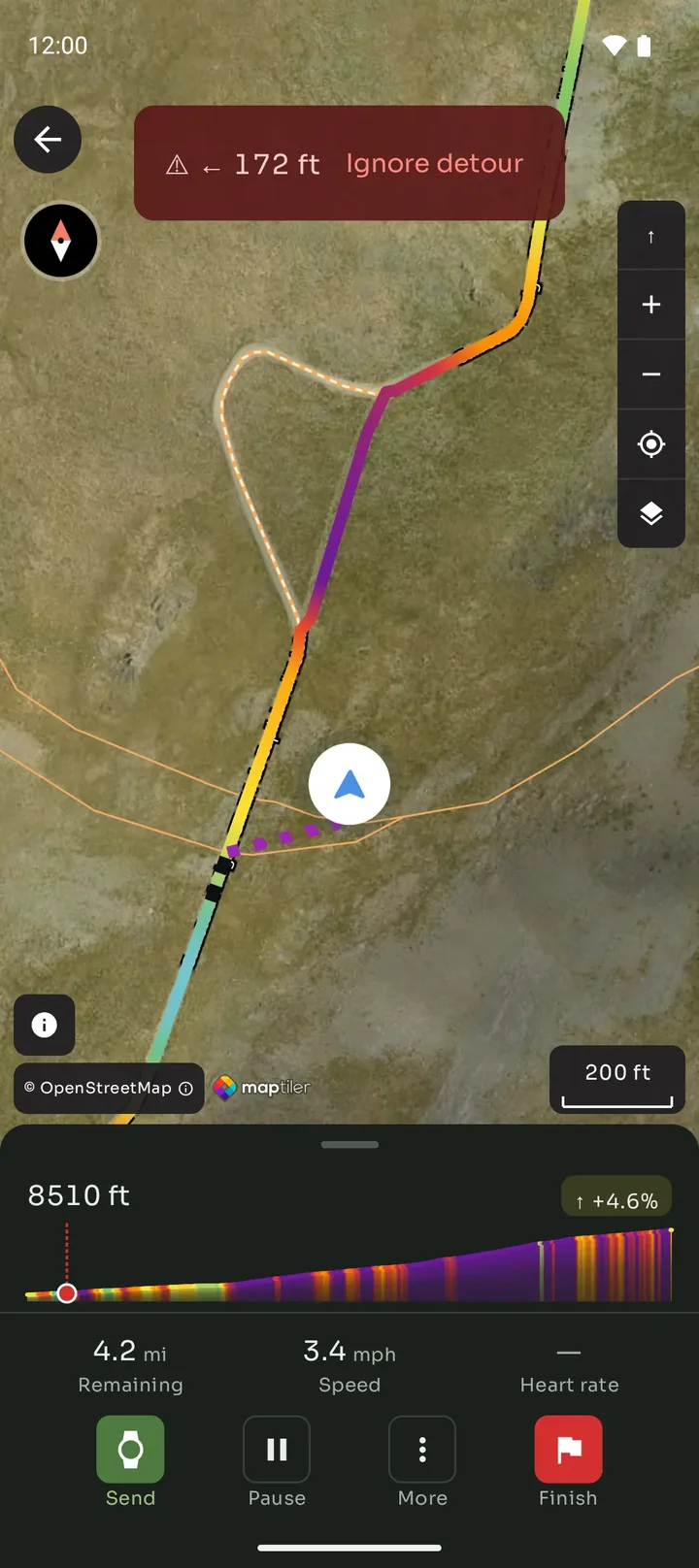
Bring your routes as GPX, pick one from the catalogue or draw your own, riding or walking, and Mintakka takes care of the rest: the map, the turns, the warning when you drift off the line. On the phone, on the watch or on both.
The web app is already open
And the app, 30 days free. No limits.
Android and Wear OS out in October 2026
iPhone and Apple Watch out in November 2026
Today, from the browser
Whatever you browse, save or draw here is waiting in the app, on the same account.
Routes shared by other people, with the profile, the gradients and the climbs, rated by those who rode them. Take one to your library in a tap, and publish yours if you feel like it.
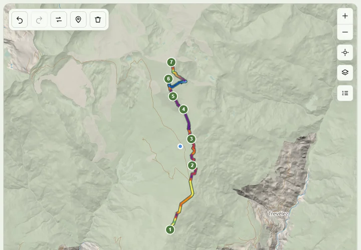
Explore the catalogueDraw a route on the map — road, gravel, mountain bike or on foot — on the phone or here, on a big screen. Either way it is waiting in the app.
Open the plannerWhat you import or plan here is on the phone and on the watch; what you record out there opens here. One account, one library.
30 days free
all of it and no limits, when it launches.
1 app
for the phone, the watch and the web.
4–5 %
of battery an hour: what the watch uses paired with the phone, measured.
routes
yours as GPX, other people's, the ones you draw.
How it works
Nothing to set up on the day. The route, your GPX or one from the catalogue, is on the phone before you leave, and so is the map of the area if you choose to download it; from then on, no signal is needed.
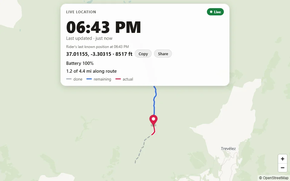
Share a live link before you leave, and whoever has it follows you on a map in any browser, with no app and no account.
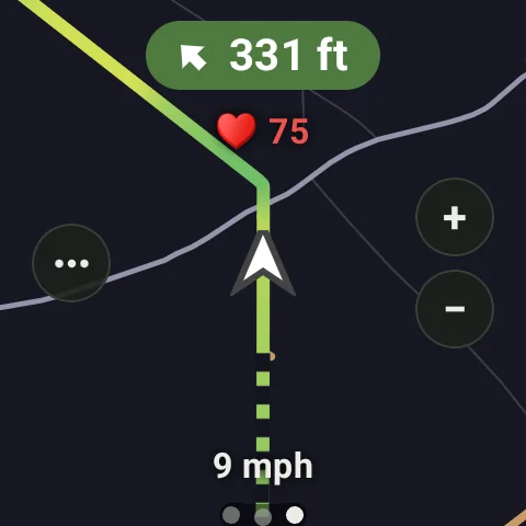
The phone navigates on its own: GPS, map, turns and the warning when you drift. With a paired watch, the same session reaches your wrist using about four to five per cent of its charge an hour, measured. And if you head out without the phone, the watch navigates alone.
When it launches, try all of it, free and with no limits, for thirty days. You are going to like it.
Why Mintakka
With the phone paired, about 4 % to 5 % of its battery an hour, measured: the phone does the heavy work from your pocket. Raise your wrist and the navigation is there. Heading out without the phone? The watch navigates alone.
Navigation on the phone and on the watch: precise turn-by-turn cues, off-route warnings, haptic and voice alerts you configure, route recalculation, and much more.
If you want, download the map of the outing up front, so you can go without signal. The watch takes the map of your routes ahead of time.
Features
Send a link before you set off and whoever has it follows you on a map, in any browser, with no app and no account. Lose signal and they still see where you were last seen.
Bring a GPX from anywhere — another app, a friend, a website — and it becomes a navigable route on the spot, with its turns, its elevation profile, its gradients and its climbs.
Distance, moving time, speed, climbing, and your heart rate from the watch or a chest strap. Every outing is kept, with its track, its profile and its climbs, to look back on or to ride again.
After that, an affordable subscription pays for navigation, offline maps and taking your GPX files out of Mintakka. Monthly or yearly, whichever suits you best; both start with the 30 free days.
Android and Wear OS out in October 2026 · iPhone and Apple Watch out in November 2026
Mintakka
Out in October 2026 on Android and Wear OS, and in November on iPhone and Apple Watch. Try it before anyone else in the beta, or join the newsletter.
Already have an account? Sign in
And the app, 30 days free. No limits.